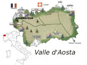
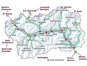
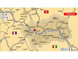
Courmayeur lies at the foot of the Mont Blanc - the highest mountain in Europe. Bordering France and Switzerland, the traditional Italian town and ski resort of Courmayeur is part of the Aosta Valley / Valle d'Aosta region, one of the most beautiful resorts in Italy. It is easily accessible via the A5 motorway/highway, the Mont Blanc Tunnel connecting Italy to France (Chamonix) and via the Cols du Saint Bernard. Courmayeur's proximity to the motorway/highway network and excellent road connections makes it easily accessible from the airports of Milan and Geneva, and the near-by cities.
Altitude: 1224m / Courmayeur area: 209.83km2 (20.983 hectares)


Courmayeur Geographical co-ordinates:
Latitude: 45.7927, Longitude: 6.97171
45° 47′ 34″ North, 6° 58′ 18″ East
45° 47′ 34″ North, 6° 58′ 18″ East
Distances:
Aosta Town - 40km: 45mins drive
Milan Malpensa Airport - 217km: 2hrs 30mins drive
Geneva (Switzerland) - 100km via the Mont Blanc Tunnel: 1hr30mins drive
Chamonix - Mont Blanc (France) - 23km via the Mont Blanc Tunnel: 30mins drive


 4.9 nodi km/h SW